

Canada sees more than 8,000 wildfires per year, burning an average of over 2.1 million hectares. Recent seasons rank among the most severe on record, with 2023 the worst.
Fire danger today is rated through the Canadian Forest Fire Danger Rating System (CFFDRS) and its Fire Weather Index (FWI), a process that still leans heavily on manual firefighter workflows.
This project brings multi-modal remote sensing to that problem: combining satellite observations with landcover classification and fire-hotspot data from FIRMS (the Fire Information for Resource Management System) to predict and monitor forest-fire risk beyond what the manual process can see.
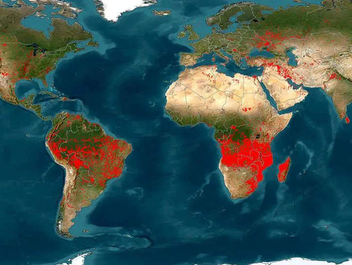
Global fire hotspots — NASA FIRMS data.
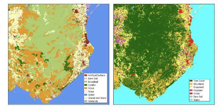
Landcover classification maps.